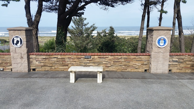
It turns out that something was wrong with my phone (or maybe the operator of the phone) as I should have gone south on Highway 101. After correcting my error, I made it to the visitor center but stopped to see the Curry County Veterans Memorial just before going down to the visitor center.
They suggested two hikes in the Rogue River - Siskiyou National Forest. So we drove north to the road that went east on the south side of the Rogue River. After about ten miles, we came to the turnoff for the first hike, Forest Service Road 33. We saw this sign and I got rather nervous about the two mile drive out to the trail head. We later discovered that we went from less than 50 feet about sea level to about 1100 feet elevation, in a very short distance on a single lane road with no guard rail. The photo does not exaggerate how steep the road was in places.
We reached the trail head and parked where the signs headed. There was a small kiosk there that had a small map of the area.
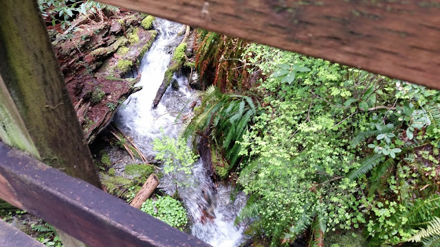
The trail started across the road from the parking lot and about 100 feet in, had a sign with copies of the guides for a self guided tour of the Francis Shrader Old Growth Trail. It is quite beautiful and dense with old growth trees towering over our heads and also fallen on the ground to become nurse logs for other flora and fauna to grow from. We tried several shots to get good photos of the canopy of the tall trees, but the angle always seemed to put part or all of my face in shade.
We also tried some selfies, both with the camera below us looking up and above us looking down.
We learned about snags, stumps left after tree tops tumble from storms and/or old age, with the snag remaining to house and feed other plants and animals.
There were numerous bridges, benches and picnic tables on the well maintained trail.
We did see one banana slug, and we saw and heard birds - but otherwise, did not see any animal life.
Afterwards, we walked uphill another mile or so on the road on which we had driven in - it just continued to go up and up. Looking at the contour map, it appeared to go up another 1000+ feet by the edge of the map.
Then it was back down the one lane, narrow, steep road, to a bridge across the Rogue River, then off to a side road to the Myrtle Tree Trail.
Southwest Oregon is the myrtle wood capital of the USA and this tree is amazing, 42 feet in diameter, 88 feet tall, with a canopy 70 feet wide. The opening into the base is large enough to walk into and could hold probably a dozen people standing up.
Then it was back to the hotel to relax in the late afternoon sun and listen to roar of the surf.
After dinner, I went out to the beach for one last walk on the beach, heading north towards the Rogue River. Again, there was a constantly changing kaleidoscope of sun and clouds when I looked out to sea and a plethora of driftwood as I looked back to shore.


No comments:
Post a Comment