We did not need a lot of food from the commissary at Holoman AFB today, so we drove the ten miles beyond the base to White Sands National Monument. There are several places to hike and we chose the Dune Life Nature Trail. The trail head includes a thermometer so you can see how hot it is before you begin to hike. There were also multiple warnings on multiple signs about heat, water and not getting lost.


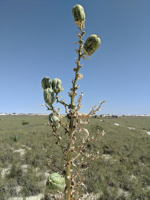
There were several yuccas that were in bloom and/or with seed pods.

About every 200 yards, there are informational signs in both English and Spanish.

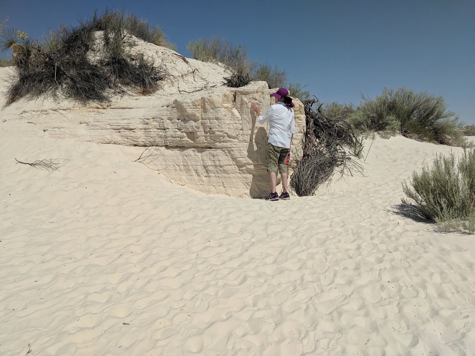
The white sand is actually gypsum. White Sands National Monument is in the Tularosa basin, as are Alamagordo, Holloman AFB, White Sands Missile Range and the surrounding region. Gypsum and other minerals wash out of the rocks in the San Andres mountains to the west and the Sacramento mountains to the east. While rain flows into the Tularosa basin, there are no rivers flowing out. So water just evaporates and the most abundant residue is the gypsum which packs into layers (Patty is looking at a spot where the layers are exposed) and which has always moving loose white sand on top. These layers also hold water so there are plants able to grow in the dunes.


Because of the moisture below the sand, you will see plants like this Rio Grande Cottonwood growing in a sand dune.

But if too much sand shifts preventing access to the subterranean moisture, the cottonwood tree will die.


After the hike, we drove the road into the dunes. There were dozens of large parking areas as apparently, one of the big winter events here is sliding and snowboarding on the dunes. There were even people out sliding in the summer. There are so many parking lots and so many people during the winter that alcohol is prohibited in the park Feb. 1 - May 31 each year.


The website warns that the last three miles of the road is not paved and to watch closely where you drive, as the sands are constantly shifting. It was a washboard road, much as we experienced when we lived in Westford, VT - the big difference is that it was completely flat. Instead of snow banks on both sides of the road, it was sand banks. For a couple of miles, we even followed a large bucket loader that was pushing the sand to the side, on both the unpaved and paved sections of the road.
Once we got to the visitor center, we saw a lot of native art and jewelry for sale as well as the sleds for sale - we used to call them flying saucers when we were kids and used them on the snow in New England, but here they are called sleds or sand disks.


In the small area where they have educational materials, we learned about the plants and animals that evolved to adapt in the White Sands - outside of the park, the earless lizard is brown, but inside the park, he is nearly white and we saw them earlier on our hike.

We then went to Holloman AFB and had lunch at the Subway in the food court at the BX and made a quick foray into the commissary for four items (rather than a full shopping cart as in the past weeks). On the way up the mountain into Cloudcroft, we stopped at the Mexican Canyon Trestle Vista. The day before, I had hiked in to the far end of the trestle. You can only view the trestle from here, no hiking to it from this end.


There were several yuccas that were in bloom and/or with seed pods.


About every 200 yards, there are informational signs in both English and Spanish.

The white sand is actually gypsum. White Sands National Monument is in the Tularosa basin, as are Alamagordo, Holloman AFB, White Sands Missile Range and the surrounding region. Gypsum and other minerals wash out of the rocks in the San Andres mountains to the west and the Sacramento mountains to the east. While rain flows into the Tularosa basin, there are no rivers flowing out. So water just evaporates and the most abundant residue is the gypsum which packs into layers (Patty is looking at a spot where the layers are exposed) and which has always moving loose white sand on top. These layers also hold water so there are plants able to grow in the dunes.


Because of the moisture below the sand, you will see plants like this Rio Grande Cottonwood growing in a sand dune.

But if too much sand shifts preventing access to the subterranean moisture, the cottonwood tree will die.


After the hike, we drove the road into the dunes. There were dozens of large parking areas as apparently, one of the big winter events here is sliding and snowboarding on the dunes. There were even people out sliding in the summer. There are so many parking lots and so many people during the winter that alcohol is prohibited in the park Feb. 1 - May 31 each year.


The website warns that the last three miles of the road is not paved and to watch closely where you drive, as the sands are constantly shifting. It was a washboard road, much as we experienced when we lived in Westford, VT - the big difference is that it was completely flat. Instead of snow banks on both sides of the road, it was sand banks. For a couple of miles, we even followed a large bucket loader that was pushing the sand to the side, on both the unpaved and paved sections of the road.
Once we got to the visitor center, we saw a lot of native art and jewelry for sale as well as the sleds for sale - we used to call them flying saucers when we were kids and used them on the snow in New England, but here they are called sleds or sand disks.


In the small area where they have educational materials, we learned about the plants and animals that evolved to adapt in the White Sands - outside of the park, the earless lizard is brown, but inside the park, he is nearly white and we saw them earlier on our hike.

We then went to Holloman AFB and had lunch at the Subway in the food court at the BX and made a quick foray into the commissary for four items (rather than a full shopping cart as in the past weeks). On the way up the mountain into Cloudcroft, we stopped at the Mexican Canyon Trestle Vista. The day before, I had hiked in to the far end of the trestle. You can only view the trestle from here, no hiking to it from this end.

 | |
| This is where I had hiked the day before - see the post for June 24, 2019 to see the photos from this end |
No comments:
Post a Comment