Our adventure for the day was to visit the ghost town of Mogollon, an old mining town about 75 minutes north of our rental.
Here is the link for the museum in Mogollon.
The drive there involved going about 55 miles north on US Highway 180, a nice two line road with a 60 mph limit for most of the drive. The description says the road conditions are good to the town but deteriorate past the town, requiring a high clearance vehicle. The nine miles from US 180 start with ever increasingly narrow two lanes, with a double yellow line in the middle with white lines on the sides - except for where the pavement had broken off. Oh, it was also pretty continuously going up in elevation along the sides of the mountains - and there were no guard rails. Patty did not need to ask me to drive with both hands on the wheel. Then it changed to one lane with no center or side lines for the final five miles. It was posted at 25 mph, then 15 mph, and finally 10 mph. Then we met two pickup trucks coming the other way - I pulled into the side of the hill as far as I could so they could pass. We opened the windows and I was fairly continuously blowing the horn as we came to each blind turn, to let approaching vehicles know we were on the other side of the blind corner. And there were no guard rails here. After about four miles going up, the road started going down and the last mile was all recently rebuilt - but without lines or guardrails. We learned that there was a "hundred year" flood in 2013. The ground had been saturated with more than twice the normal rail fall from June through September. Then the rains came and not only filled the creek in town but was six and a half feet above street level in the narrow canyon where the town is - we were told that at one point in the storm, they got seven inches of rain in 45 minutes. It took two years to rebuild that last mile plus the quarter mile through the center of town. The ride back wasn't bad except for two spots - one where there was no place to pull to the right so I just stopped and the other car passed (he was on the uphill side of the road, Patty was looking out at nothing on her side) and then a spot where we met three trucks and a car, but at least they had heard my horn blowing and had stopped; I was able to pull over into a spot where there was room for about half of our car off the road, and I let them pass on the uphill side of the road. It was an anxiety producing drive.
Our first stop in town was at the museum. Across the street were two buildings that appear to have been stores, the second of which is now run as Silver Creek Inn with four rooms to rent.
The volunteer who runs the museum is one of about 10 year round residents of the town (she has lived there for more than 40 years) and she told us about the flood of 2013 and how the stone walls of the museum survived even though several feet of water and mud entered the museum.
As mentioned above, the last mile of the road in to town and the quarter mile through town have been rebuilt, and look to be in great condition now, with a deep, wide and strongly protected path for the creek to pass through the town center.
Inside the museum, there were both items from when it was a boom town during the mining years as well as many artifacts (especially pottery) from the Mimbres, Mogollon and Apache natives who resided in the area for hundreds of years.
I initially thought about driving back out of town and having lunch in the town of Alma, but then we learned the the local Purple Onion Cafe was open for breakfast and lunch. Patty and I had a nice lunch outside on a picnic table that was in a covered area (it was to the left of the open area in the second photo).
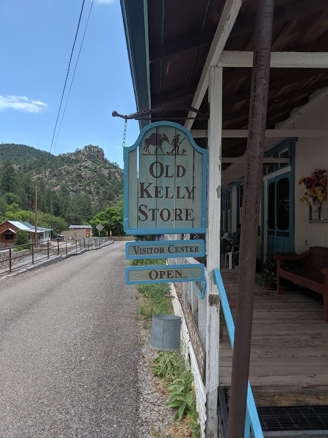
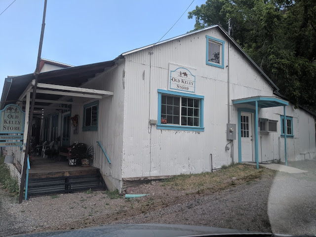
Finally, we visited the Old Kelly Store which had many rocks, gems, shirts and hats advertising "I survived the drive to Mogollon, NM" and both artwork and artisan made goods.
It was a great excursion for the day, in spite of the drive. I don't think I want to try it again any time soon.


No comments:
Post a Comment