I began my day with another walk around a different part of Banff. I came across this sign educating me about the source of the Bow River at the Bow Glacier, and how the river empties into Hudson Bay. This was quite appropriate as we planned to drive north on the Icefields Parkway in Banff and Jasper National Parks to the Icefields Center. This is adjacent to the icefields where glaciers flow into rivers that go into the Artic, Atlantic and Pacific Oceans.


Our plan was to spend the morning driving two and half hours north to the Icefields Center, explore there, and then as we drove south in the afternoon, we could stop at some of the sites that were highlighted on the parkway's website.
The parking lots at the Icefields Center were jammed with dozens of large buses and hundreds of cars; the same was for the parking lot at the Athabasca Glacier on the other side of the road. We chose to park at a somewhat remote parking lot that had ample available spaces and took a couple of photos from there.


We then hiked the Forefield Trail towards the toe of the glacier. Depending on when and where the ice and snow were melting, they would move the trail as needed. This meant that the temporary bridges over streams were just that - temporary.


Of the two temporary bridges over the stream, this was the more stable and so we used it.


The trail is well worn and easy to follow, but prior hikers have added markers along the way.


While we met a few people on the trail, it was only a handful Once we eventually got to the parking lot for access to the tongue, it was full and there were many people going up the hill to view the glacier.

As you can tell from this sign, the glacier has retreated a lot in the last 35 years.

Once we got to the top, there is an area where you are free to roam - but beyond the roped in area, you can only go with guides.


We could only get so close, but you could hear the roaring sound of the river as the melting snow and ice came down from the mountain.


This was as close as we could get.


After returning to the parking lot, we hiked back to our car on the Forefield Trail. This is one of the temporary bridges we did not take (this actually was from a prior year).

In the morning, there were two temporary bridges. We took the same one back in the afternoon - this is the other one we avoided and it was even more underwater in the afternoon.

They monitor the activity of the glacier and the accompanying weather.

As we approached our car, we could see that the 600 space parking lot to the left of the Icefields Center was still full as was the bus parking lot to the right of the center.


We had our lunch in the car and then headed south. Some places on our list were full or did not appear interesting, but Bow Summit and Peyto Lake was recommended as the most scenic lake on the parkway. We hiked up to the view point and it is indeed gorgeous.


All week, we had wondered about how the water looked clear and had this amazing turquoise color. We learned that the silt sunk to the bottom but small particles of what they call flour (actually minute pieces of silt) in the water acts like a prism to give the color - but the particles are so small, the water looks crystal clear.

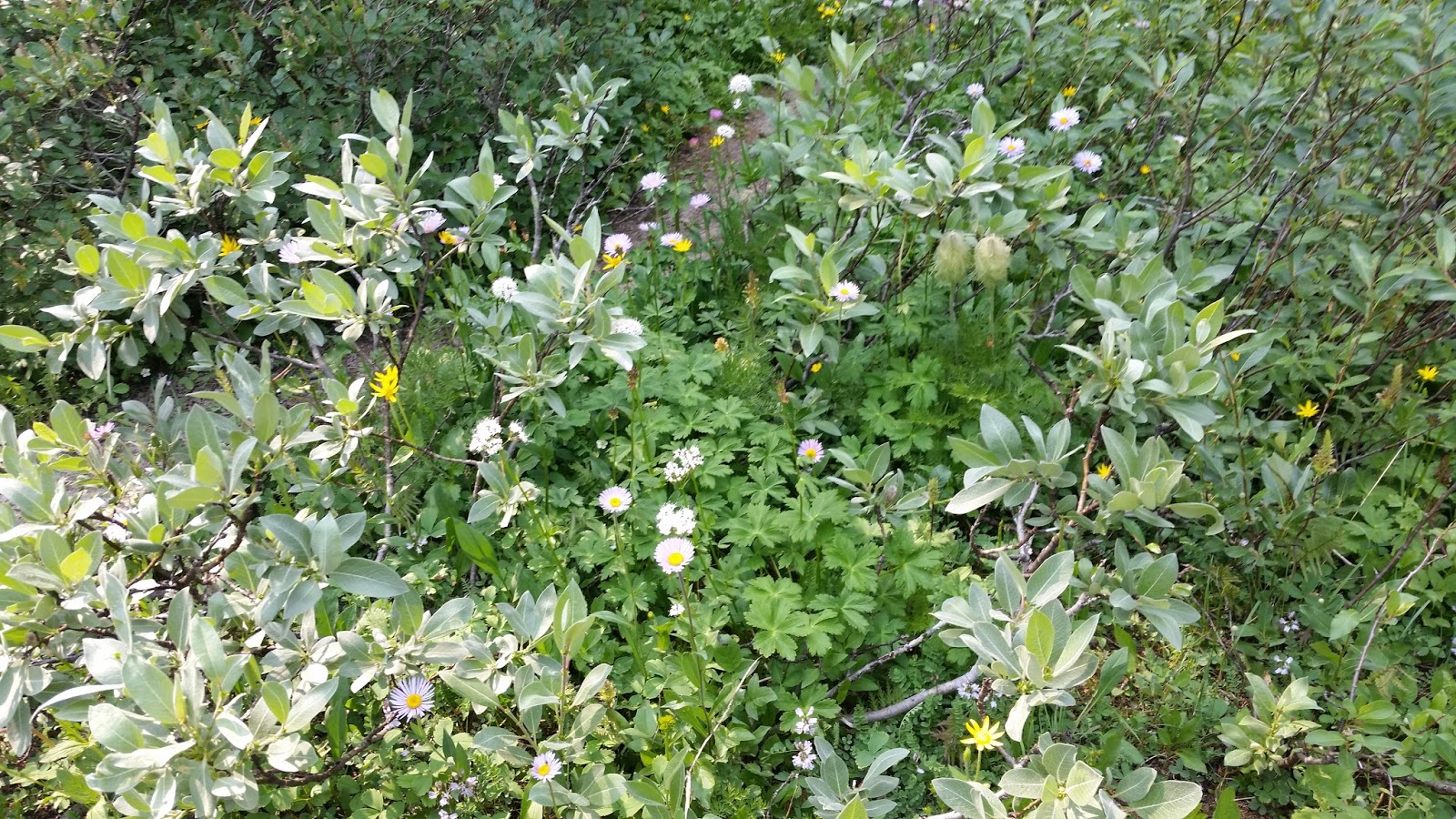
From there we hiked up to the lower summit trail (the upper summit was another 3 kms further) that is a bit above 7,000 feet elevation. We were still a little below the treeline, so there were plenty of trees, but they were not as large - and there were many wildflowers.


We got back to our car and as we continued south, we just had to stop and take pictures of the Helen Lake signs for my sister. We did not even think about attempting the 6 km hike.


We continued on and stopped to look at Bridal Veil Falls.


And then it was back to Banff for dinner.


Our plan was to spend the morning driving two and half hours north to the Icefields Center, explore there, and then as we drove south in the afternoon, we could stop at some of the sites that were highlighted on the parkway's website.
The parking lots at the Icefields Center were jammed with dozens of large buses and hundreds of cars; the same was for the parking lot at the Athabasca Glacier on the other side of the road. We chose to park at a somewhat remote parking lot that had ample available spaces and took a couple of photos from there.


We then hiked the Forefield Trail towards the toe of the glacier. Depending on when and where the ice and snow were melting, they would move the trail as needed. This meant that the temporary bridges over streams were just that - temporary.


Of the two temporary bridges over the stream, this was the more stable and so we used it.


The trail is well worn and easy to follow, but prior hikers have added markers along the way.


While we met a few people on the trail, it was only a handful Once we eventually got to the parking lot for access to the tongue, it was full and there were many people going up the hill to view the glacier.

As you can tell from this sign, the glacier has retreated a lot in the last 35 years.

Once we got to the top, there is an area where you are free to roam - but beyond the roped in area, you can only go with guides.


We could only get so close, but you could hear the roaring sound of the river as the melting snow and ice came down from the mountain.


This was as close as we could get.


After returning to the parking lot, we hiked back to our car on the Forefield Trail. This is one of the temporary bridges we did not take (this actually was from a prior year).

In the morning, there were two temporary bridges. We took the same one back in the afternoon - this is the other one we avoided and it was even more underwater in the afternoon.

They monitor the activity of the glacier and the accompanying weather.

As we approached our car, we could see that the 600 space parking lot to the left of the Icefields Center was still full as was the bus parking lot to the right of the center.


We had our lunch in the car and then headed south. Some places on our list were full or did not appear interesting, but Bow Summit and Peyto Lake was recommended as the most scenic lake on the parkway. We hiked up to the view point and it is indeed gorgeous.


All week, we had wondered about how the water looked clear and had this amazing turquoise color. We learned that the silt sunk to the bottom but small particles of what they call flour (actually minute pieces of silt) in the water acts like a prism to give the color - but the particles are so small, the water looks crystal clear.

From there we hiked up to the lower summit trail (the upper summit was another 3 kms further) that is a bit above 7,000 feet elevation. We were still a little below the treeline, so there were plenty of trees, but they were not as large - and there were many wildflowers.


We got back to our car and as we continued south, we just had to stop and take pictures of the Helen Lake signs for my sister. We did not even think about attempting the 6 km hike.


We continued on and stopped to look at Bridal Veil Falls.


And then it was back to Banff for dinner.
No comments:
Post a Comment